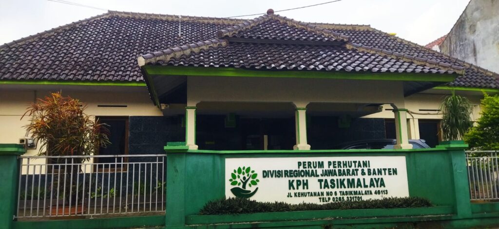
Perum Perhutani Forest Management Unit (Kesatuan Pemangkuan Hutan/KPH) Tasikmalaya is one of the management units under the Regional Division of Perum Perhutani for West Java and Banten.
The working area of KPH Tasikmalaya, as stipulated in Government Regulation No. 72 of 2010 concerning the State Forestry Public Corporation (Perum), covers a total of 43,974.61 hectares. This area falls within the administrative boundaries of Tasikmalaya Regency (43,613.50 hectares) and Tasikmalaya Municipality (361.11 hectares), in the Province of West Java, with the following territorial boundaries :
- Northern side : Bordering Sumedang Forest Management Unit (KPH Sumedang) and Majalengka Forest Management Unit (KPH Majalengka).
- Eastern side : Bordering Ciamis Forest Management Unit (KPH Ciamis).
- Southern side : Bordering the Indonesian Ocean.
- Western side : Bordering Garut Forest Management Unit (KPH Garut).
Based on land suitability, the forest area of KPH Tasikmalaya is divided into three Forest Enterprise Classes (Kelas Perusahaan/KP):
- KP Teak (Jati), covering an area of 17,987.39 hectares
- KP Mahogany (Mahoni), covering an area of 8,359.08 hectares
- KP Pine (Pinus), covering an area of 17,628.14 hectares
Forest Functions :
- Limited Production Forest (HPT) < 15 % covering an area of 7.627,19 Ha.
- HPT > 15 % covering an area of 14.995,40 Ha.
- Production Forest (HP) covering an area of 5.281,13 Ha.
- Protected Forest (HL) covering an area of 16.070,89 Ha.
Based on Government Regulation No. 72 of 2010 concerning the State Forestry Public Corporation (Perum), KPH Tasikmalaya is divided into several Forest Sections (BH).
- Mt. Awilega covering an area of 8.359,08 Ha
- Mt. Galunggung covering an area of 10.053,62 Ha
- Mt. Karacak covering an area of 7.574,52 Ha
- Mt. Terjung covering an area of 10.199,78 Ha
- Mt. Tonjong covering an area of 7.787,61 Ha
Based on its management area, KPH Tasikmalaya consists of 5 Forest Management Unit Sections (BKPH) and 18 Forest Management Unit Resorts (RPH), with the following details:
- BKPH Tasikmalaya = 10.481,71 Ha.
-
- RPH Cineam = 3.731,09 Ha Ha.
- RPH Pageurageung = 1.577,40 Ha.
- RPH Cisayong = 2.773,20 Ha.
- RPH Ciawi = 2.400,02 Ha.
- BKPH Singaparna = 8.851,54 Ha
-
- RPH Sukaraja = 598,78 Ha.
- RPH Tenjowaringin = 2.849,13 Ha.
- RPH Leuwisari = 3.303,00 Ha.
- RPH Cigalontang = 2.100,63 Ha.
- BKPH Taraju = 5.243,42 Ha
-
- RPH Lukun = 1.619,06 Ha.
- RPH Taraju = 1.005,70 Ha.
- RPH Sodong = 2.618,66 Ha.
- BKPH Karangnunggal = 10.967,90 Ha
-
- RPH Cibalong = 1.520,00 Ha.
- RPH Karangnunggal = 2.356,08 Ha.
- RPH Simpang = 2.046,32 Ha.
- RPH Cipatujah = 5.045,50 Ha.
- BKPH Cikatomas = 8.430,04 Ha.
-
- RPH Salopa = 2.561,36 Ha.
- RPH Cikatomas = 3.177,81 Ha.
- RPH Cikalong = 2.690,87 Ha. .
The number of employees at KPH Tasikmalaya is 124 (one hundred twenty-four) people.
Publik Summary
Konsultasi Publik
Act. Administrator Name : Danu Prasetyo
Perum Perhutani KPH Tasikmalaya
Divisi Regional Jawa Barat & Banten
St. Kehutanan No 6, Kelurahan Empangsari, Kecamatan Tawang, Kota Tasikmalaya
Telp. (0265) 331701 Fax. (0265) 335764
Email : kph.tasikmalaya@perhutani.co.id